 29, 30 NOV
 & 1 DEC 2026
 29, 30 NOV
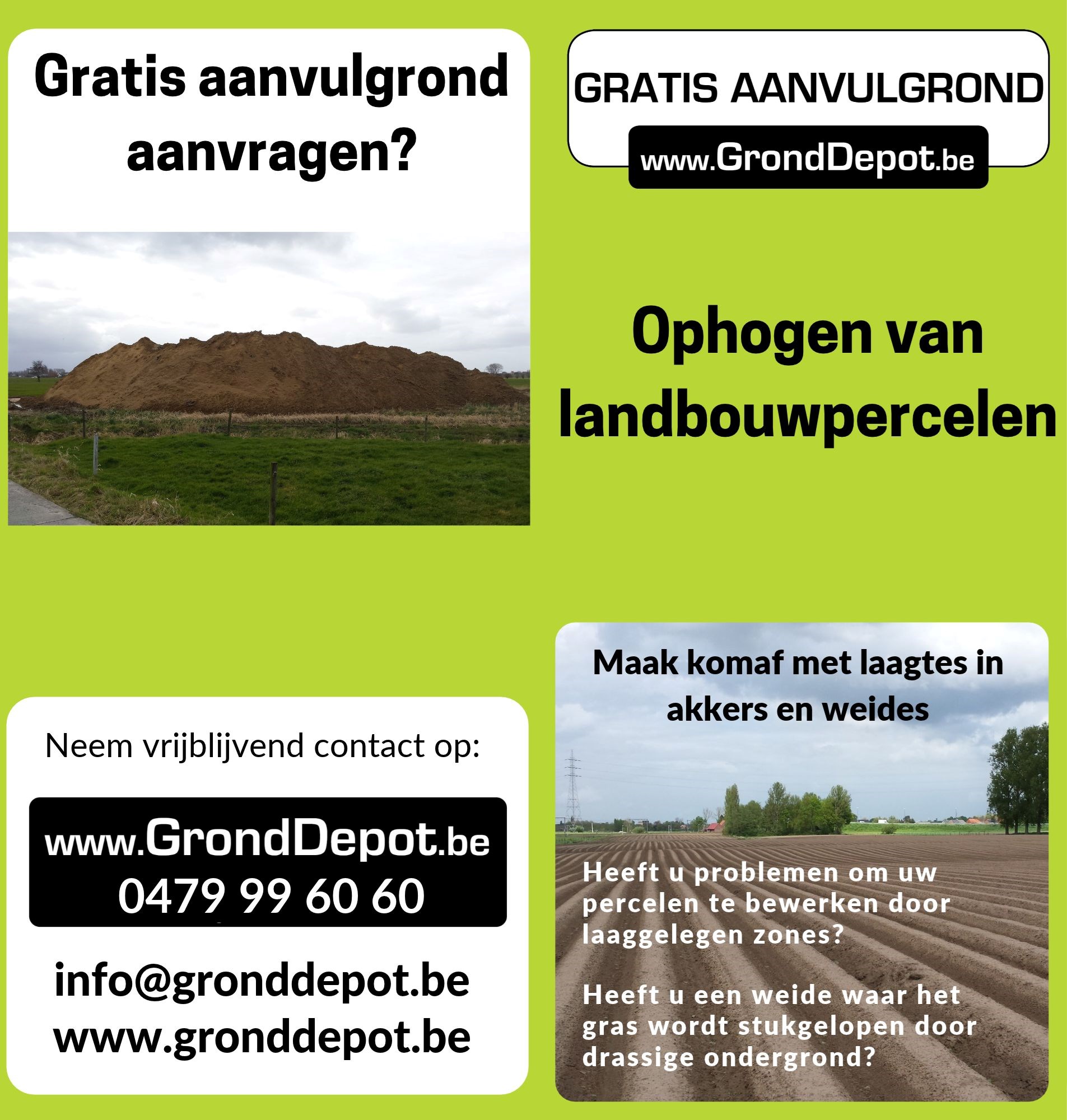
GrondDepot is reeds meer dan 20 jaar een vaste partner in het leveren van gratis aanvulgrond. Als enige onafhankelijke partner in heel Vlaanderen, daar wij zelf geen aannemer maar een tussenpersoon tussen vraag en aanbod van grond zijn, kunnen we u steeds de kwaliteit van de grond garanderen. Alle grond voldoet aan alle milieuvereisten, overeenkomstig het Vlarebo. We werken samen met een heel netwerk van aannemers, waardoor we gratis aanvulgrond kunnen leveren over heel Vlaanderen. Ook kunnen we instaan voor het opmaken van een vergunning indien nodig.
Date of market introduction in Belgium (if still in development: expected date of launch)
2020
Briefly describe what is NEW. This explanation will be submitted to the expert group and will be decisive in the evaluation and selection of the most newsworthy entries. (max. textarea: 600 characters)
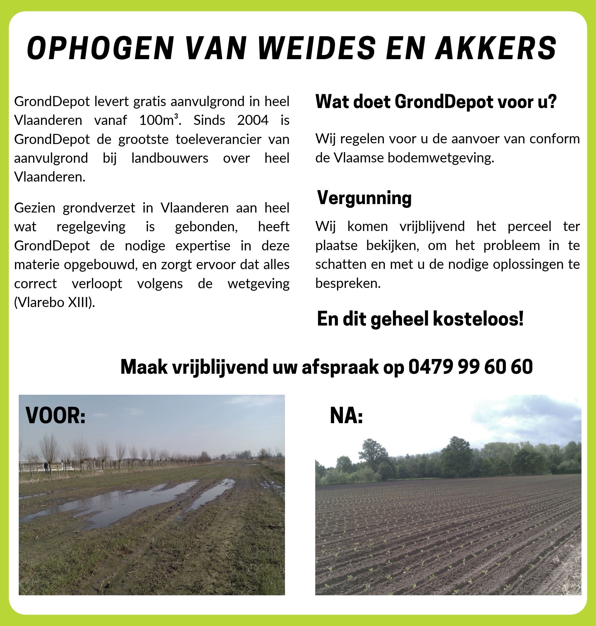
GrondDepot makes professional land improvement accessible to farmers, completely free of charge. Using GPS and drone surveys and AI-supported digital tools, we accurately analyse the land and develop a targeted solution. We guide farmers through the entire process, including the permit application, and then source suitable fill soil. In this way, we combine complete support with the circular reuse of soil, giving surplus soil a valuable new purpose.
Added value for the user (in commercial terms, user-friendliness ...)
GrondDepot provides farmers with one point of contact for the entire process, from land surveying and digital analysis to permits and field improvement. By targeting local depressions, wet areas and unfavourable terrain profiles, we aim to create more even, workable fields with improved water management. This helps create better growing conditions and supports agricultural productivity, offering particular benefits for potato cultivation.
Added value for the further sustainability and professionalization of the potato sector.
GrondDepot gives suitable soil flows a useful, circular new purpose on farmland with a clear need for improvement. Using GPS and drone surveys, digital terrain models and AI-supported analysis, we develop a targeted land improvement plan. After applying for the required permit, we source suitable fill soil. This combines circularity, digitalisation and professional support to create better conditions for crop development and agricultural use.