 29, 30 NOV
& 1 DEC 2026
 29, 30 NOV
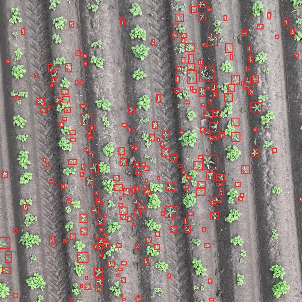
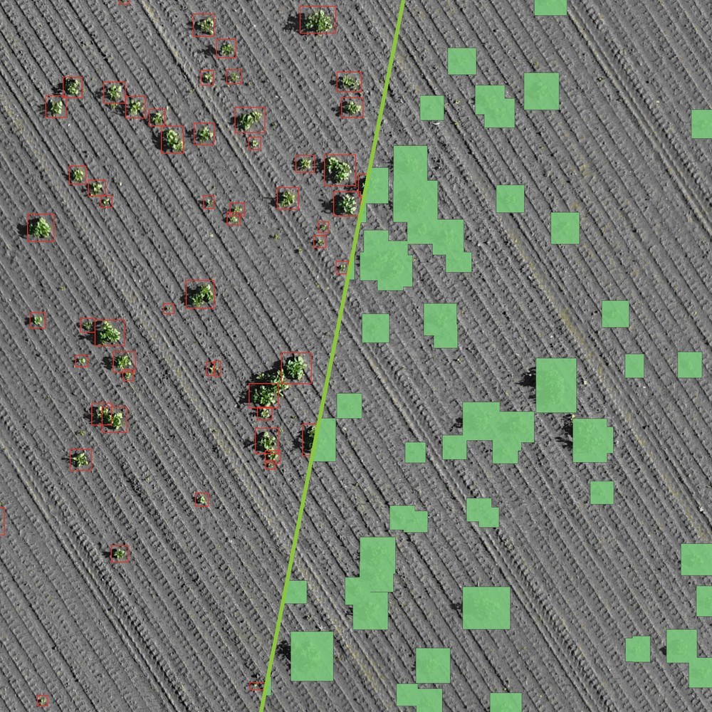
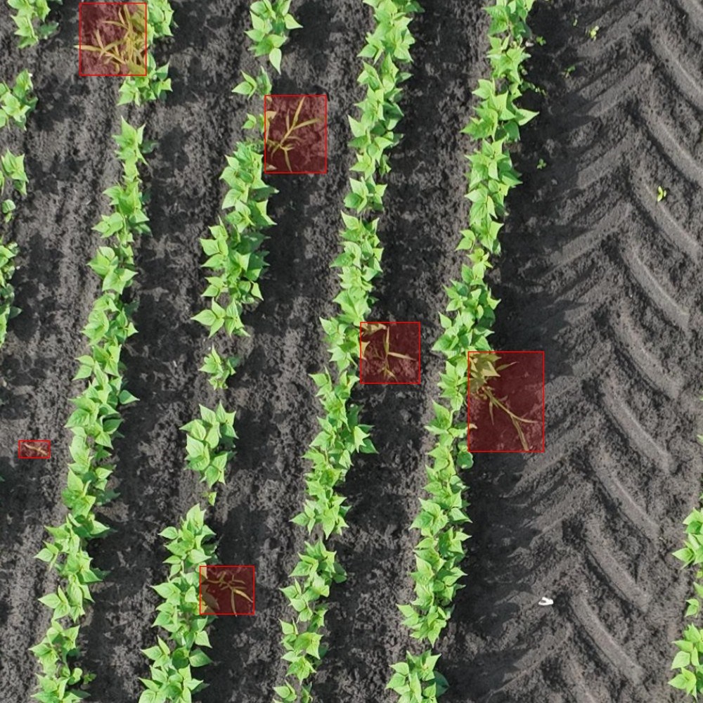
Croptic turns drone images into a map of where the weeds are. You fly the field with your own drone or have it flown by a pilot, and our AI platform recognises the weeds in the images. From that comes a task map that goes straight into the sprayer, so you only spray where it is needed. Growers and contractors use it in potatoes, onions, carrots and more, for weeds such as thistles, yellow nutsedge and volunteer potatoes. The result: less product, less crop damage and a better view of what is happening in the field.